Geospatial
Connect location data, imagery, and GIS technology to help your team understand complex conditions and make informed mission decisions.
Mission Technology
Turn Geographic Information Into Mission Insight
ASET Partners, an ODRG Company, helps federal teams put geographic information to work. By connecting location with other data, geospatial capabilities reveal patterns and relationships that support analysis, planning, and operational decisions.
Our services span geospatial analytics, GIS technology, and data production. We consider your mission questions, infrastructure, and users when shaping the approach, helping your team select appropriate tools and develop information products that fit the operating environment. The focus is on making geographic information understandable, accessible, and useful to the people who need it.

Geospatial Capabilities With Practical Mission Value
Location gives information context. ASET combines analytical methods, technology selection, and geospatial production to help your team understand relationships, communicate findings, and apply geographic information to mission needs.
Geographic Context
Connect information with location to understand where conditions occur and how geographic relationships affect the questions your team needs to answer.
Clear Data Visualization
Present complex information through maps and visualizations that help analysts and decision-makers understand findings and communicate them more clearly.
Multiple Data Sources
Bring together location information from imagery, sensors, mobile devices, and other sources to support a broader view of mission conditions.
Imagery Analysis
Use imagery alongside other geographic information to examine features and conditions that contribute to your team’s analysis.
Technology That Fits
Select GIS tools around your infrastructure, operating environment, and organizational needs, keeping the solution aligned with how your team works.
Purposeful Information Products
Develop mapping, charting, and imagery outputs around project specifications so the finished products serve a defined operational or analytical need.
Accessible Geospatial Information
Provide outputs through map and feature services, helping your team use geographic information within compatible applications and workflows.
Support for User Adoption
Connect technology with documentation and training support, helping users understand new capabilities and apply them within their daily work.
Put Your Geographic Information to Work
Discuss your analytical questions, GIS requirements, or geospatial production needs with ASET’s team.

Geospatial Analytics
Explore the Relationships Behind Your Data
Geospatial analysis connects location with descriptive information to reveal patterns and relationships. ASET helps your team apply analytical methods and visualizations to the mission questions that matter. By examining geographic information alongside other relevant data, we support a clearer understanding of conditions, trends, and findings that can inform planning and decisions.
- Analytical methodologies
- Analytical cycles
- Imagery analysis
- Geographic data visualizatio

GIS Technology
Match Geospatial Tools to Your Environment
GIS technology should fit the way your organization operates. ASET evaluates tools against your requirements, infrastructure, and organizational context, helping you select an appropriate approach. Our capabilities include GIS platforms, mobile applications, mapping, and remote sensing, with technology choices shaped by the information your users need to access, analyze, and share.
- Esri-based GIS solutions
- Open-source GIS approaches
- Mobile geospatial applications
- Mapping capabilities
- Remote sensing
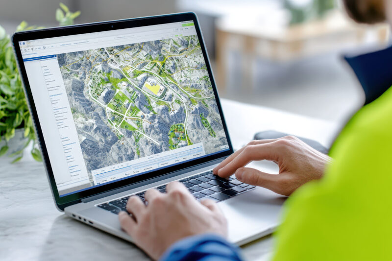
Geospatial Production
Create Geographic Products Your Team Can Use
ASET supports mapping, charting, and imagery production from data collection through finished outputs. We align products with project specifications and their intended use, including digital services and hardcopy formats. Feature extraction guidance and defined output requirements help connect the production work with the geographic information your analysts and operators need.
- Mapping, charting, and imagery products
- Outputs aligned with project specifications
- Feature extraction guidance
- Map and feature services
- Digital and hardcopy deliverables
Hear From an ASET Customer
A client’s perspective on the people and partnership behind the work.
Let’s Move Your Mission Forward
Tell us about your program, technical requirements, and operational priorities. We’ll help identify the ASET capabilities that fit your needs.